1 articles with this tag
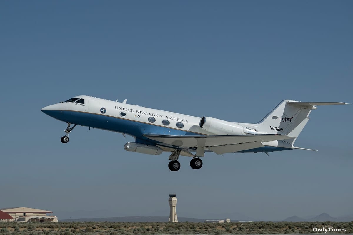
NASA flew its C-20A aircraft over Central California on April 29 to map fault lines and calibrate the L-band radar for the upcoming NISAR satellite mission.