
Is anyone actually paying attention to the plumbing of their digital world? We’re all obsessed with flashy new AI demos and the metaverse’s latest implosion, but the quiet revolution happening in “observability” – essentially, making sure the maps don’t break – is the one that will actually determine whether any of that future tech works. The real story here isn't about building the coolest GIS applications; it’s about keeping the lights on, and Esri’s ArcGIS Monitor is quietly becoming central to that effort.
Beyond the Map: Why System Health Matters to Everyone
For years, GIS professionals have operated with a certain amount of blind faith. A map goes down? You scramble to diagnose the problem, hoping it’s not a cascading failure. ArcGIS Monitor, launched to provide “observability” – a term borrowed from the software engineering world – changes that. It’s designed to collect metrics on the health, performance, and usage of an ArcGIS Enterprise deployment, essentially providing a real-time dashboard for the entire system. This isn’t about fancy features; it’s about preventing downtime, which Derek Law, Senior Product Manager at Esri, frames as directly impacting “operational cost savings.” But the impact extends far beyond the IT department. Think about emergency services relying on real-time mapping during a disaster, or utilities managing critical infrastructure. Every minute of downtime translates to real-world consequences.
This article draws on reporting from esri.com.
From Ohio to Oregon: Real-World Observability in Action
The success of ArcGIS Monitor isn’t just theoretical. Two recent customer success stories highlight its practical value. Joe Guzi at the Stark County (Ohio) GIS Department is presenting at the Esri 2026 Developer & Technology Summit next week on how his team “embraced observability” with the tool, learning to translate alerts into actionable insights. Their story, detailed in a user story on Esri’s site, focuses on using Analysis Views to visualize system health trends. Simultaneously, Jordan DeSimone from Clean Water Services in Washington County, Oregon, will be presenting alongside Kevin Sadrak from dymaptic on integrating ArcGIS Monitor with their existing cloud monitoring service, DataDog. This integration is key – it’s not about replacing existing tools, but augmenting them with GIS-specific insights. The fact that these organizations are actively sharing their strategies suggests ArcGIS Monitor is moving beyond early adopter status.
The AI Question and the Future of GIS Monitoring
Esri isn’t resting on its laurels. The company is actively exploring integrating AI capabilities into ArcGIS Monitor, and is soliciting feedback from users at the upcoming summit. This is where things get interesting. Observability generates a lot of data. The challenge isn’t just collecting it, but making sense of it. AI could potentially automate anomaly detection, predict failures before they happen, and even suggest solutions. However, the industry is awash in AI hype, and it’s crucial to remember that AI is a tool, not a magic bullet. The real value will be in how Esri leverages AI to enhance the existing observability framework, not replace the expertise of GIS professionals. The ArcGIS Monitor AI feedback survey is a smart move, signaling Esri understands the need for user-driven development.
What to Watch for at the Esri Summit – and Beyond
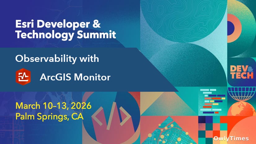
The Esri 2026 Developer & Technology Summit in Palm Springs next week isn’t just a product showcase; it’s a crucial opportunity to gauge the direction of the GIS industry. Pay attention to the questions being asked at the Observability kiosk in the Esri Tech Zone. Are users primarily focused on basic system health monitoring, or are they pushing for more advanced features like predictive analytics? More importantly, watch whether Esri commits to a clear roadmap for AI integration, and how they plan to address the potential pitfalls of relying too heavily on automated systems. My prediction? Within the next 18 months, we’ll see a significant shift in how GIS departments are staffed, with a growing demand for professionals who understand not just mapping, but also the underlying infrastructure that makes it all possible. The future of GIS isn’t just about where things are; it’s about ensuring those things stay online.