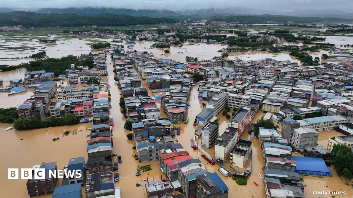

If you think your weather app’s "flash flood warning" is just another notification to swipe away, how many thousands of gallons of water does it take to change your mind? On Friday, July 11, 2026, the reality of climate volatility hit southeastern Missouri with a blunt force that turned recreational summer getaways into high-stakes rescue zones.
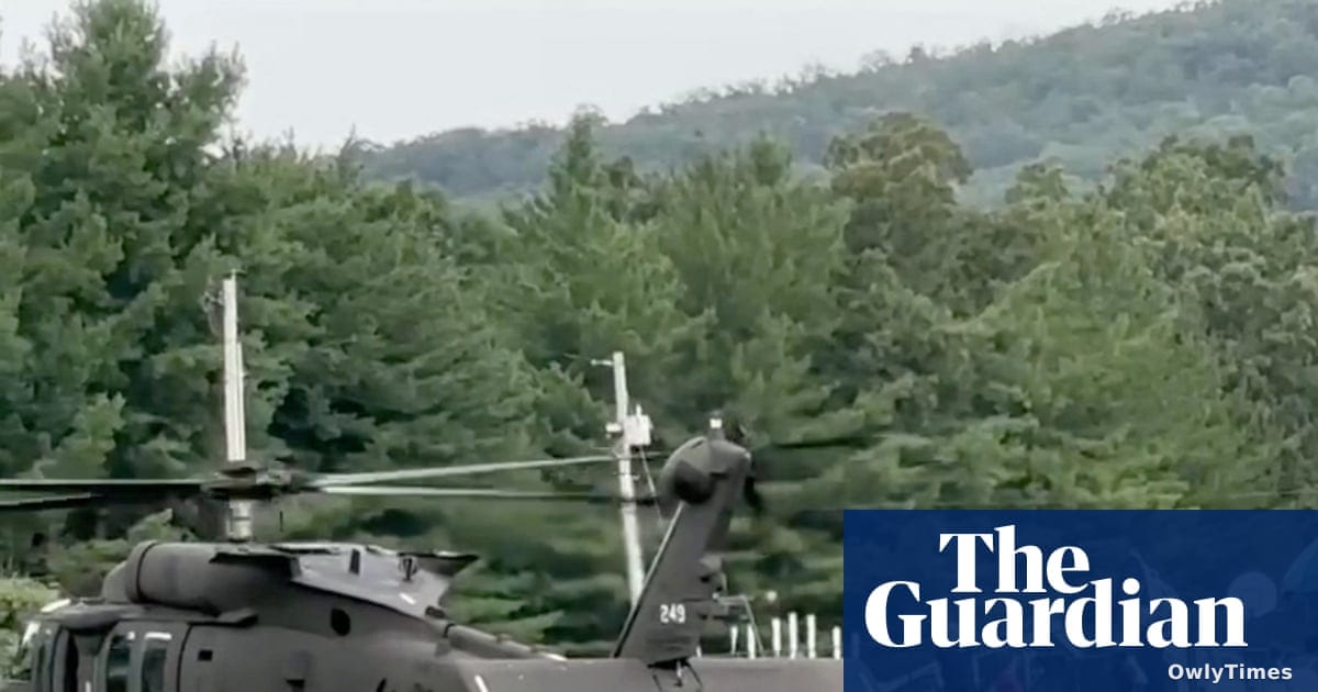
The real story here isn’t just the dramatic visuals of military helicopters—it’s the collision between our love for "getting away from it all" and the increasingly unpredictable infrastructure of the natural world. According to The Guardian, The Independent, and CBS News, more than 200 children and staff were airlifted from Camp Taum Sauk in Lesterville after floodwaters severed all road access. While the evacuation was successful, the event underscores how quickly "popular" recreational spots can become traps when weather systems stall.
When Infrastructure Fails Under Pressure
The technical failure here was as much about physics as it was about rainfall. CBS News notes that the region experienced a "1-in-1,000-year rainfall event," with 6 to 12 inches of rain falling in a concentrated burst. At the Bearcat Getaway campground, that volume proved catastrophic for basic infrastructure. As reported by both The Guardian and The Independent, roughly 20 campers attempted to survive the rising Black River by climbing onto a building, only for the structure to collapse under the combined weight of the people and the raging water underneath.
The mechanical response was heavy-duty, involving eight Black Hawk helicopters deployed by the Missouri National Guard, as noted by CBS News. It is a stark reminder that in these scenarios, the "cloud"—whether it’s a data center or a storm system—has physical consequences that require massive, localized energy to rectify.
The Human Cost of "Weather-Aware"
We are often told to stay "weather-aware," a phrase that sounds like a tech-support ticket but carries life-or-death weight in rural Missouri. Governor Mike Kehoe declared a state of emergency, confirming that while hundreds were saved from trees, rooftops, and stranded vehicles, the situation remains fluid. The Guardian and The Independent both highlight the ongoing search for a woman in Crawford County, whose home was swept from its foundation.
The volatility of the Black River remains the primary threat. According to both The Guardian and CBS News, the river is expected to crest at more than 28 feet near Annapolis, which would set a record for the waterway. For those in the path, this isn't a theoretical risk; it’s a logistical nightmare of impassable roads and compromised shelters.
The Cascading Effect of Data and Rain
Meteorologist Matt Beitscher of the NWS office in St. Louis pointed out that the region’s popularity for recreation makes its "vulnerable populations" uniquely susceptible to these flash events. When you combine high-density recreation with the kind of rainfall that turns a river into a record-breaking torrent, the margin for error effectively vanishes.
We will see if the infrastructure holds as the weekend progresses. With further rain expected, the immediate trigger to watch is the cresting of the Black River; if the water levels exceed the predicted 28 feet, it will signal a new benchmark for regional disaster management that existing emergency protocols may struggle to match.