
How do we document the frontier when the frontier is 238,000 miles away? When the Artemis II crew embarked on their 10-day mission this past April, they weren't just testing the capabilities of the Orion capsule; they were serving as the first human eyes to witness the far side of the moon in over half a century. While the primary mission objectives focused on life support and navigation, the secondary objective was arguably more visceral: capturing the experience of deep space.
A Massive Archive of Lunar Exploration
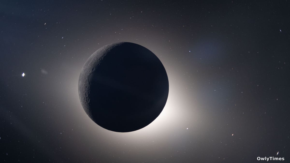
The recent public release of over 12,000 photographs by NASA offers more than just aesthetic wonder; it provides a unique dataset for lunar geography and spacecraft performance. Headlines have naturally gravitated toward the "Earthset" images—the haunting, iconic views of our planet slipping behind the lunar horizon. However, the scientific value of this repository lies in the sheer density of the imagery captured during the crew's closest approach on April 6, when they flew within 4,067 miles (6,545 kilometers) of the lunar surface.
This proximity allowed for high-resolution documentation of the moon’s "terminator," the high-contrast boundary between sunlight and shadow. By capturing this region, the crew provided researchers with granular details of crater formations and even observed rare impact flashes from celestial debris. These images are not merely snapshots; they are high-fidelity records of a dynamic lunar surface that remains largely inaccessible to ground-based telescopes.
The Human Element in High-Contrast Space
What the public sees as a collection of beautiful "space selfies" actually functions as an unintentional study in human-machine interaction. The most popular images in the archive feature the interior of the Orion capsule, showing the crew interacting with their environment. These photos—often featuring reflections of the astronauts against the backdrop of a crescent Earth—remind us that the capsule, while a marvel of engineering, is essentially a high-tech camper van.
It is important to consider the limitations of this data. These photos were captured using handheld equipment, meaning they are subject to the optical constraints of the capsule windows, including glare, reflections, and the buildup of interplanetary dust. While these artifacts might be viewed as imperfections in a commercial sense, they offer scientists a clear look at how the spacecraft’s exterior glazing performs under prolonged exposure to the deep-space environment.
Moving Toward a Lunar Landing
While the Artemis II mission has concluded, the analysis of these 12,000 images is only in its infancy. For the planetary science community, the next steps involve cross-referencing these specific flyby observations with existing maps from robotic orbiters to identify changes in the lunar topography. This cataloging effort is a critical precursor to the upcoming mission milestones that aim to put human boots back on the surface.
The utility of these images will be measured by how they inform future landing site selection and surface operations. As NASA pivots toward the goal of landing humans on the moon as soon as 2028, the next reading of mission-readiness reports will likely emphasize how the lessons learned from this 10-day odyssey—both in navigation and in the documentation of the lunar environment—have shaped the safety protocols for the next generation of lunar explorers. For now, the public can explore the raw data of this journey via the official NASA gallery.